Why Choose NDT Global for IMU Pipeline InspectionThe systematic process of visually examining, testing, or monitoring pipeline components to assess their condition, integrity, and compliance with regulatory re…?
Part of the functionality provided by these technologies help negate or mitigate errors introduced by Coriolis forces, electronic drift, random errors like pipeline noises, and Abbe errors (these errors have the potential to be especially problematic because they continue to accumulate the longer an inspectionThe systematic process of visually examining, testing, or monitoring pipeline components to assess their condition, integrity, and compliance with regulatory re… runs, which can turn a small error into a large one if the inspection runs over a long distance). As it turns out, some of this technology was developed to help find and exclude data that would muddle accurate detections.
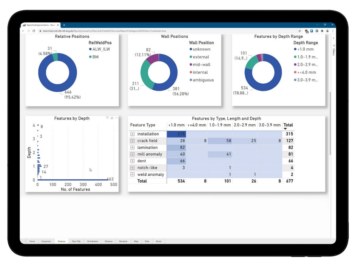
With this data “noise” eliminated, Inertial Navigation Systems (INS) tools can be deployed in conjunction with any of NDT Global’s inline inspectionA method used to assess the the integrity and condition of pipelines. It involves the use of specialized tools that are inserted into the pipeline and propelled… tools to secure the most accurate data about featureGeneral term for an anomaly detected during an assessment. Features can be anomalies, components, nearby metallic objects, welds, appurtenances, or some other i… location in an asset. The ultimate output of this work is an Inline Inspection Reference Database that includes a comprehensive list of every piece of information an operatorAn entity or organization responsible for the operation, management, and maintenance of a pipeline system. The operator is entrusted with ensuring the safe, rel… needs to identify, locate, size, and plan remediationThe appropriate actions taken to address or rectify issues, deficiencies, or anomalies identified in a pipeline system. It involves implementing corrective acti… for any feature with an injurious potential.
If having insight into the exact GPS points of your asset’s locations is critical to its safe and profitable operation, contact NDT Global to learn how we can help you find and remediate the most potentially injurious threats to your business.


